|
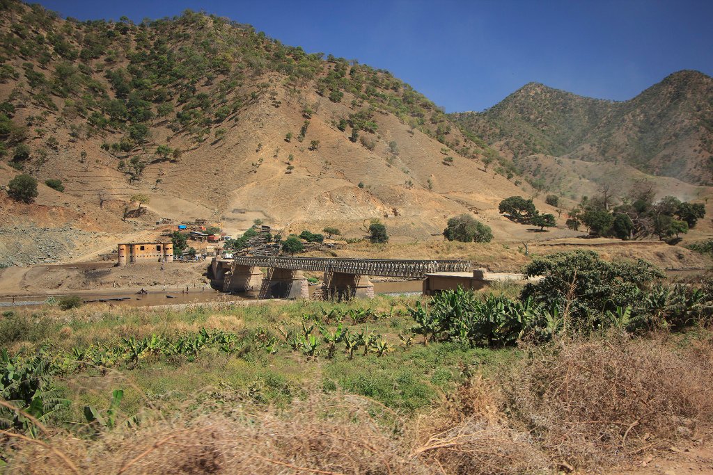 |
| Bridge over Tekeze River | |
| Latitude: N 14°4'50,67" | Longitude: E 38°14'17,62" | Altitude: 1861 metres | Location: Abba Zege | State/Province: Tigray Region | Country: Ethiopië | Copyright: Ron Harkink | See map | |
| Total images: 33 | Help | |
|
|
|
| Bridge over Tekeze River | |
| Latitude: N 14°4'50,67" | Longitude: E 38°14'17,62" | Altitude: 1861 metres | Location: Abba Zege | State/Province: Tigray Region | Country: Ethiopië | Copyright: Ron Harkink | See map | |
| Total images: 33 | Help | |